
CARC to Integrate Geospatial Technology Into Civil Aviation Operations

Amman, July 16 (Petra) -- The Civil Aviation Regulatory Commission (CARC) will leverage advanced geospatial technologies, including aerial and satellite imagery and digital mapping systems, to enhance civil aviation operations under a strategic partnership with the Royal Jordanian Geographic Center (RJGC).
The agreement, formalized through a memorandum of understanding signed Thursday by CARC Chief Commissioner Daifallah Farajat and the RJGC Director General Muammar Haddadin, aims to integrate accurate geospatial data into CARC’s operational activities.
Under the memorandum, the RJGC will provide CARC with updated aerial and satellite imagery, digital maps, and specialized technical support to help establish a comprehensive geographic database. The partnership also includes training programs to build CARC personnel’s technical capabilities and cooperation on joint projects serving the civil aviation sector.
Farajat said the partnership would support CARC’s efforts to improve service efficiency and develop the civil aviation system through accurate and advanced spatial data.
Haddadin affirmed the RJGC’s commitment to providing its technical expertise to support CARC, noting that the partnership strengthens national institutional integration and supports Jordan’s digital transformation projects.
Related Stories
 Technology
Zero Raises $10.3 Million Seed Round Led By Primary Venture Partners
13 minutes ago
 Technology
Elastic Chief Technology Officer Sold Shares Worth Over $7.1M
13 minutes ago
 Technology
Celebrity investors move beyond endorsements, take equity in startups
1 hour ago
 Technology
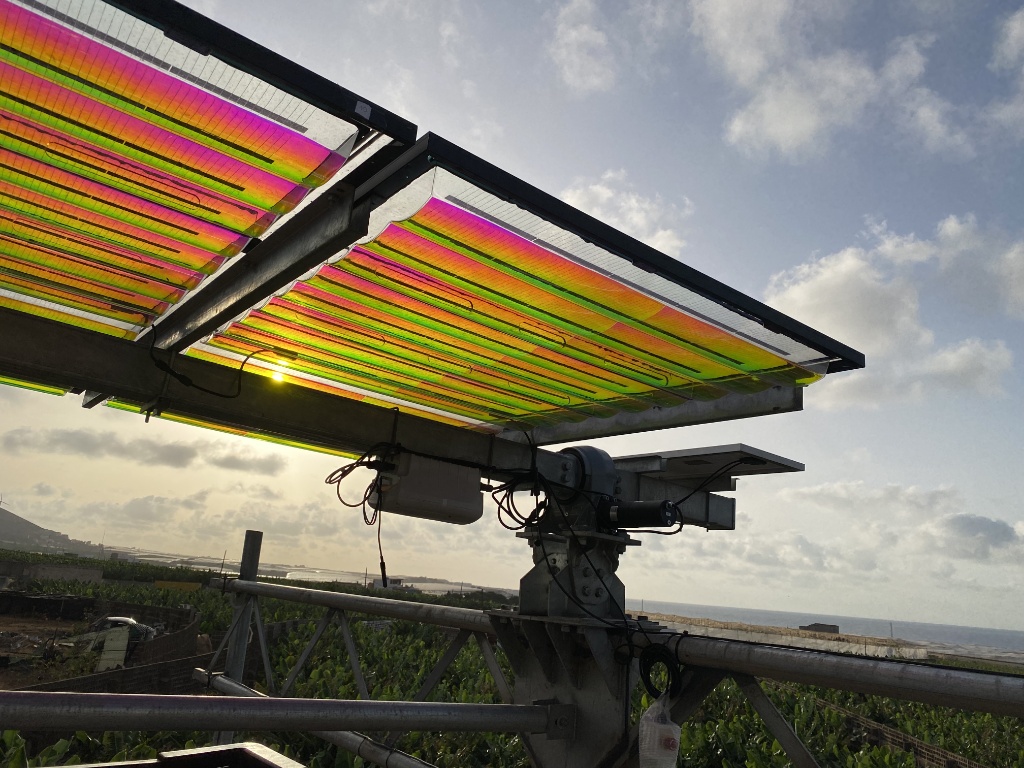
From electronics to agriculture: How 3M film technology is helping manage light in new ways
1 hour ago
 Technology
Japan's JFE Engineering, startups bet on Philippine renewable energy
2 hours ago
 Technology
Platform Calgary’s Top 10 startups
2 hours ago
 Technology
Two Buffalo startups to compete in last 43North semifinals
3 hours ago
 Technology
Pet-tech accelerator Leap Venture Studio opens Cohort 11 applications, reserves Impact Seat for mission
5 hours ago