
Drones are flying into Sicily’s volcanic plumes, and scientists say the gas maps could make eruption warn
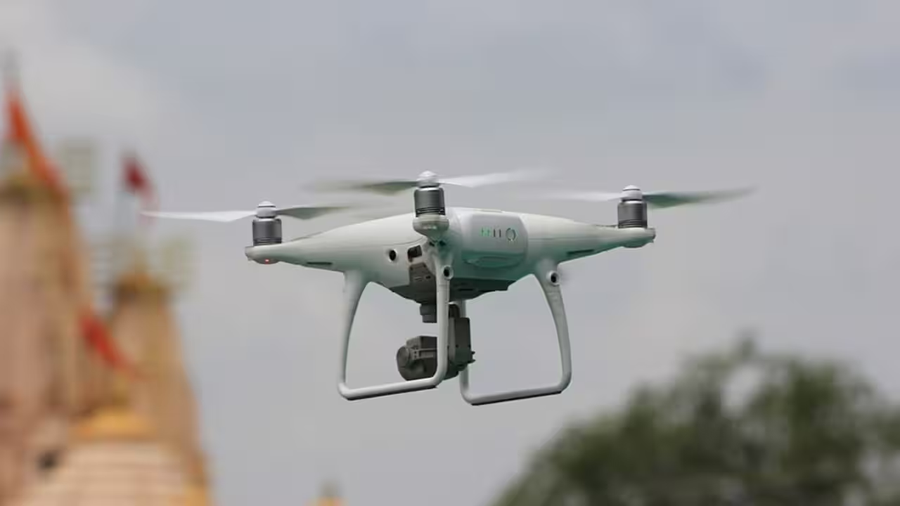
A representative image of a drone. Image credits: Wikimedia Commons Researchers are testing a new way to monitor volcanic activity on the rim of Vulcano, one of Italy’s Aeolian Islands off the coast of Sicily. Scientists are experimenting with deploying drones equipped with reflectors and advanced sensors to measure volcanic gases from a safe distance instead of carrying bulky instruments into sulfur-filled fumaroles. The researchers aim to create highly detailed maps of gas concentrations, which are an important indicator of changes occurring beneath a volcano’s surface. According to researchers from the Technical University of Munich, whose field trials were reported by Phys. org, this technology could improve how scientists monitor volcano activity while significantly reducing the risks.Field experiments in VulcanoResearchers are conducting field experiments on the rim of Vulcano, whose last major eruption occurred in the late 19th century, as reported by Phys. org, but continues to emit large volumes of volcanic gases. According to the report by Phys. org, researchers from TUM positioned their laser-based gas sensor on the crater rim while a drone carrying a reflector flew behind the volcanic plume. Notably, the laser beam passed through the gases before bouncing back from the drone, thus allowing the scientists to examine the gas concentrations without placing any equipment directly inside the corrosive plume. TUM researcher Marius Schaab explained that the approach keeps the drone and the ground-based sensor outside of the densest part of the plume, thus reducing equipment damage while still producing detailed information.Scientists have long known that changes in volcanic gases can provide valuable clues about what is likely happening beneath the Earth's surface. With magma rising, the pressure changes often alter both the quantity and composition of gases escaping from the volcanic rim. According to volcanologist Tjarda Roberts of France’s Centre National de la Recherche Scientifique, monitoring these changes can help researchers understand the volcanic process better and improve eruption forecasting as gas compositions can shift before an eruption begins. Therefore, the measurements collected by the drones serve two purposes: improving scientific understanding of volcanic systems and providing data that could strengthen the early signs for the communities living near active volcanoes. A representative image of a drone. Image credits: Wikimedia CommonsIt is worth noting that while drones have been used around volcanoes for over a decade, researchers are increasingly refining their use to carry more complex scientific instruments. During the field study in Sicily, another German team from Johannes Gutenberg University Mainz equipped a drone named Tina with sensors that were capable of measuring volcanic gases, airborne particles, and halogens like chlorine and bromine. According to the report, the drone could fly directly through fumaroles with temperatures ranging from approximately 100°C to 140°C while collecting the environmental data simultaneously. Safety plays as one of the greatest advantages of this technology, as instead of entering the hazardous gas fields wearing respirators and protective gear, scientists can now obtain high-quality data remotely.A new generation volcano monitoring systemThe successful trials on Vulcano indicate only the beginning of the project, with the report suggesting that researchers hope to deploy the same technology on Mount Etna, one of Europe’s most active volcanoes, where frequent eruptions make direct measurements more risky. However, drones that can change altitude and direction are well-suited to track the rapidly shifting volcanic plumes. Researchers believe that this flexibility could become increasingly important as volcano monitoring agencies seek faster and more accurate information during periods of heightened volcanic unrest.This work underway in Sicily underscores how advances in robotics, laser sensing and environment monitoring are reshaping volcanology. Experts have noted that rather than replacing traditional monitoring methods, including seismic networks and satellite observations, drone-based technology offers an additional layer of real-time information that can improve the understanding of volcanic behaviour. With the researchers from TUM and collaborating institutions continuing to test the technology on increasingly active volcanoes, they hope that this will provide faster and safer access to crucial data that would otherwise be inaccessible without putting field teams at considerable risk.Get the latest technology news and updates. Download the TOI App.
Related Stories
 Technology
TSC selects nine startups for accelerator phase
33 minutes ago
 Technology
CGI acquires U.S. technology consulting firm Callibrity
34 minutes ago
 Technology
BIND GovTech 4th Edition: Basque Startups and Public Societies Connect
1 hour ago
 Technology
SkyGate NHJ Technology opens new precision manufacturing facility in Penang
1 hour ago
 Technology
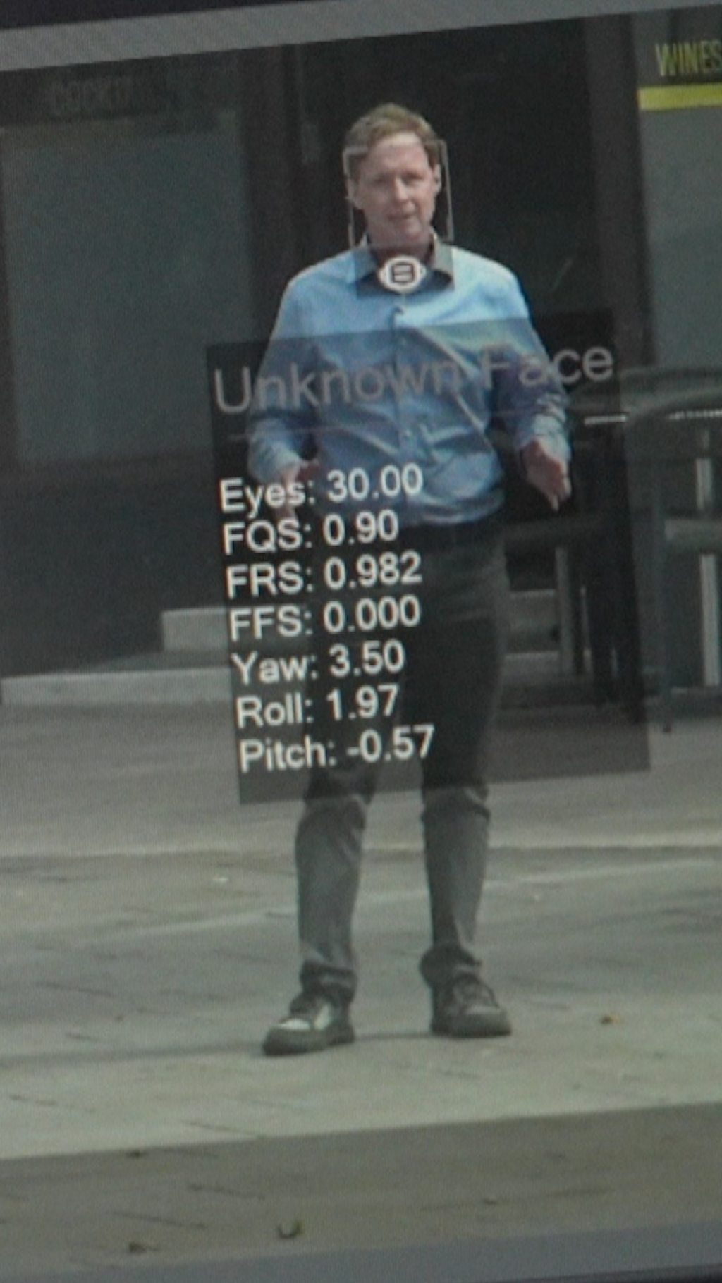
Devon and Cornwall Police use facial recognition technology
1 hour ago
 Technology
The Sales Test This Norwest Partner Gives Founders Before He’ll Invest
2 hours ago
 Technology
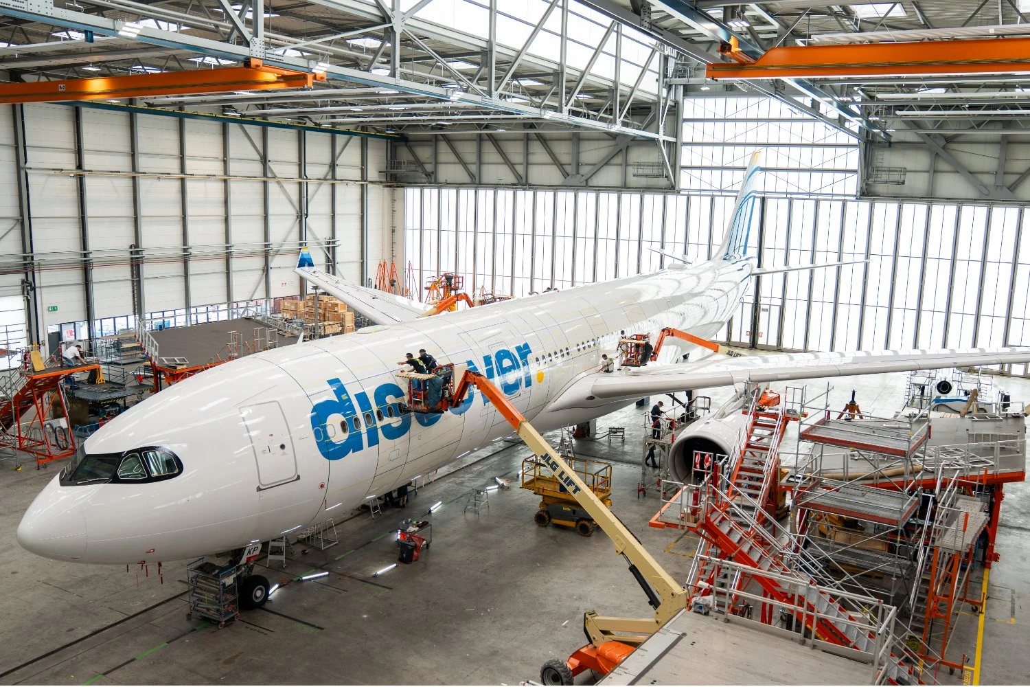
Lufthansa expands AeroSHARK ‘shark skin’ technology to Airbus A330
2 hours ago
 Technology
Bull of the Day: Seagate Technology (STX)
3 hours ago