
Smoke, lightning and heat in the forecast until Wednesday
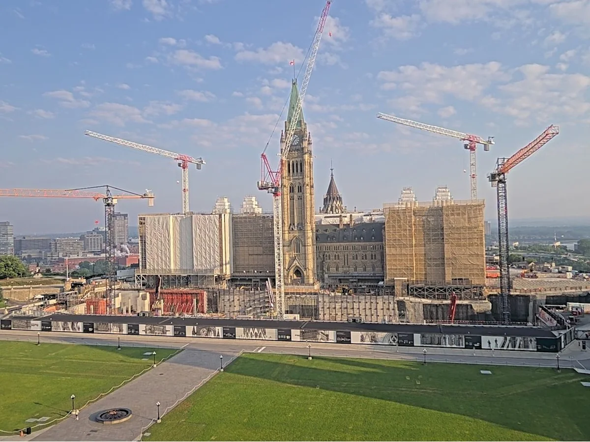
Things aren't looking very pleasant in the capital for the next 72 hours as the elements throw down a little of everything.
Sunday arrived with a "Yellow" smoke warning due to raging forest fires in northern Quebec.
Smoke from the fires in Quebec will cause poor air quality and reduced visibility on both sides of the Gatineau River, forecasters caution.
Ontario's Air Quality Health Index sets the smoke status in Ottawa as moderate to low risk Sunday, dropping to low risk Monday.
Authorities warn people to consider reducing their outdoor activities.
"You may experience mild and common symptoms such as eye, nose and throat irritation, headaches or a mild cough," says Environment Canada's wildfire smoke information site.
People more likely to be impacted include people aged 65 and older, pregnant people, infants and young children, people with an existing illness or chronic health condition, and people who work outdoors.
The forecast for Sunday is sunny skies with a high of 28 C. The humidex will make the high feel like 30, while the UV index is at 8 or very high. Skies are expected to remain clear through the night, with a low of 16 C.
Clouds are expected to roll in Monday, with a 30-per-cent chance of showers in the afternoon and a risk of thunderstorms. The wind could be gusting to 50 km/h in the morning.
High 31. Humidex 37. UV index 7 or high.
The high is expected to be 31 C, with the humidex level at 37 and the UV index is expected to be 7, or high. Skies should clear through the night, with a low near 20 C.
Tuesday's expected to be the hottest one yet, with a high near 34 C and a 30-per-cent chance of showers later in the day.
Related Stories
 Canada
Nearly 100 dogs rescued from home in Fort McMurray
6 minutes ago
 Canada
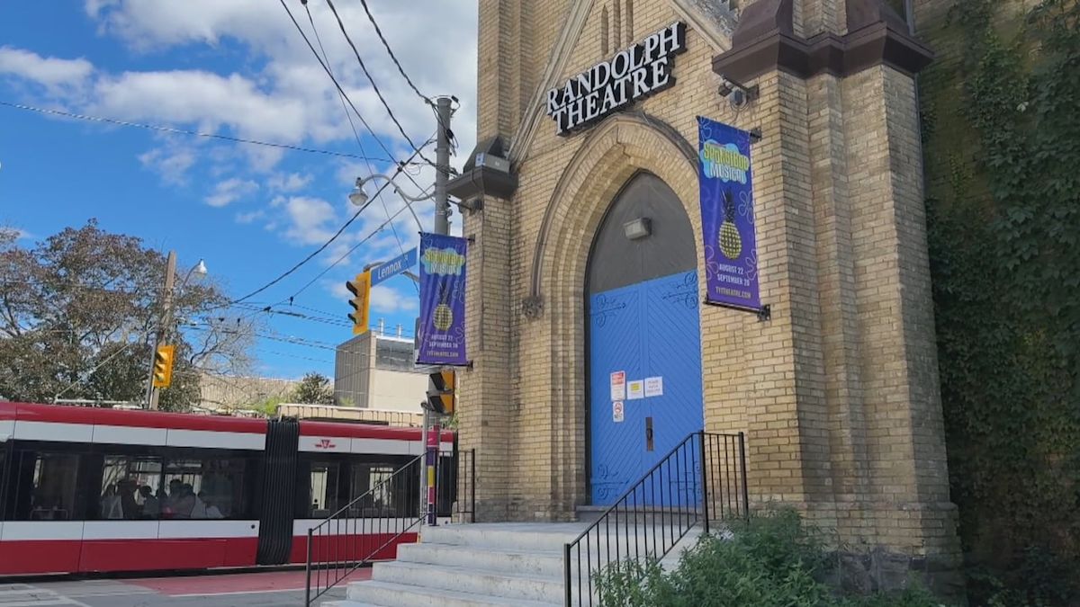
Toronto's Randolph College is closing weeks before September classes
7 minutes ago
 Canada
Air Canada settles with Brink’s over Toronto Pearson gold heist. This is the outcome
7 minutes ago
 Canada
HISTORY Ottawa Brings New Concert and Events Venue to Downtown
8 minutes ago
 Canada
Canada isn't willing to let U.S. 'dictate' trade agreements: Janice Charette
1 hour ago
 Canada
News of the day: Canada's GDP grows, Ottawa invests in Xanadu, the Warsh effect, the price of wrongful dismissal, saving tax on your portfolio and more
1 hour ago
 Canada
Canada Post reports $277M pre
1 hour ago
 Canada
How and why CBC News will adjust its 9/11 language guidance
1 hour ago