
Withering heat grips eastern Ontario, western Quebec

Withering heat grips eastern Ontario, western Quebec
Ottawa could reach hottest temperature of the year Tuesday afternoon
The latest heat wave to hit eastern Ontario and western Quebec is expected to be at its most punishing later Tuesday, with some locations reaching the hottest temperature of the year so far.
Tuesday's highs are forecast to reach the mid-30s with humidity around the low 40s. The temperature is expected to stay above 20 C overnight with lingering humidity.
If Ottawa reaches the forecasted high of 35 C it will be the hottest day of 2026. Other communities such as Brockville and Kingston could also set daily heat records.
The heat has prompted some businesses to take a break.
"We decided to shut down, essentially, for the next two days," said Sarah Bowen, social media manager for the Heart and Soul Café in Dunrobin on Tuesday morning.
"We just want to keep our staff safe. The kitchen temperature is going to get out of hand, even with air conditioning and all the fans running."
Environment Canada first issued heat warnings for the region on Sunday afternoon. Monday peaked around 30 C in Ottawa late in the afternoon with humidity making it feel like 35.
The warnings are expected to end Wednesday as both temperatures and humidity slowly ease.
How to stay safe in dangerous heat
Want to cool off with a dip in a river or lake? Here's how to stay safe
Many municipalities including Ottawa offer lists and/or maps of public places to cool off, which may included dedicated cooling centres.
People should be on the lookout for signs of heat exhaustion which include headaches, dizziness, thirst and fatigue, the weather agency said.
Anyone experiencing signs of heat stroke should call 911, they added.
The heat is contributing to an extreme fire risk in the Pontiac and some local parts of Algonquin Park. Risks are considered very high or high elsewhere, with restrictions in place including a western Quebec burn ban.
Thunderstorm watch in Outaouais
Western Quebec is also under a severe thunderstorm watch Tuesday afternoon and evening.
Risks include a tornado, wind, hail and heavy rain along with lightning.
A tornado watch or warning would come if the possibility of a tornado increases.
What to do during a tornado alert
All local alerts are yellow, the lowest and most common level of Environment Canada's three-colour scale it introduced in 2025.
Related Stories
 Canada
Severe storm risk continues for the Prairies on Sunday
3 minutes ago
 Canada
Ontario premier answers Trump’s ‘Lake America’ with giant ‘Lake Ontario’ sign
1 hour ago
 Canada
Doug Ford erects sign to remind Donald Trump 'it's Lake Ontario now and forever'
2 hours ago
 Canada
Trump's Venezuelan oil deal: What we know and how it could impact Canada's oil industry
2 hours ago
 Canada
Google’s anti
2 hours ago
 Canada
Pope Leo leads a water procession on Castelgandolfo lake
3 hours ago
 Canada
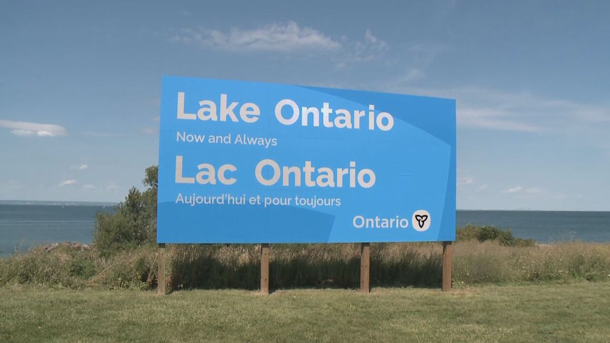
Lake Ontario Now and Always': Ford unveils new sign
3 hours ago
 Canada
WARMINGTON: Video of Canada Geese dolled up with Trump's hair armed for tariff war
3 hours ago